Underwater LED lights improve the boat’s aesthetic appeal and visibility and...
Read MoreMiami Dade County is one of the busiest boating regions in the United States. With its intricate waterways, active marinas, vibrant fishing culture, and recreational boating around hotspots like Biscayne Bay and Key Biscayne, navigation demands accuracy and reliability. Whether you’re deep-sea fishing off the coast or cruising the Miami River, precision and safety are non-negotiable.
A GPS chartplotter is an essential tool for any boat navigating these waters. It provides real-time positional awareness and advanced route plotting, making it indispensable for both professional captains and weekend sailors.
A GPS chartplotter combines satellite positioning with digital nautical charts to help you visualize your vessel’s location and course on a screen. It integrates real-time GPS data with navigational charts, allowing you to plan routes, mark waypoints, and track depth and tide changes.
In Miami’s challenging coastal terrain, these devices help avoid shallow areas, ensure accurate anchoring in Biscayne Bay, and streamline docking at crowded marinas like Miami Harbor.
Navigating Miami’s dynamic marine environment demands chartplotters with the following features:
These features enhance safety and efficiency whether you’re fishing off Elliott Key or crossing the Intracoastal Waterway.
Certain Miami Dade areas are especially reliant on GPS chartplotters due to congestion, shallow waters, or complex navigation:
In these environments, real-time feedback from a chartplotter helps you avoid costly mistakes and navigate with confidence.
Chartplotters come in several configurations, each with unique advantages:
Standalone units focus on GPS and charts, while multi-function displays (MFDs) integrate depth finders, radars, and more for a unified marine navigation experience.
While these tools work together, they serve different purposes:
When combined, especially in chartplotter-fishfinder combos, they form a powerful navigation and fishing system. A sportfishing vessel operating off Miami Beach, for instance, may rely on such a combo to safely locate deep-water fishing zones while avoiding underwater hazards.
Installing a GPS chartplotter involves more than mounting a screen. It requires:
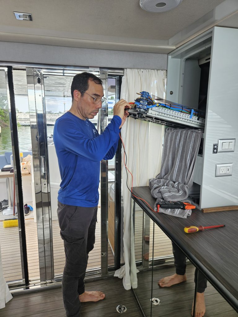
Many vessels in Miami face unique challenges like limited helm space or complex marine electrical equipment layouts. That’s why installation should always be handled by certified marine electronics professionals.
OnBoat Marine is the go-to expert for GPS chartplotter installation in Miami Dade County. We specialize exclusively in marine electronics and electrical installation, ensuring your system is configured correctly from day one.
Our team is certified in:
Whether you’re equipping your boat with a marine isolation transformer, integrating a boat fish finder, or upgrading your marine battery charger, we deliver a professional setup tailored to your vessel’s specs.
Your GPS chartplotter is only as good as its installation. In Miami’s fast-paced marine environment, don’t leave it to chance. OnBoat Marine ensures your system is set up for optimal performance, safety, and reliability.
From high-resolution displays to complete network integration, we help you chart smarter, fish deeper, and sail safer.
Contact OnBoat Marine today to book your professional GPS chartplotter installation in Miami Dade County.
Underwater LED lights improve the boat’s aesthetic appeal and visibility and...
Read MoreMarine electrical equipment plays a critical role in the safety,...
Read MoreClean, well-organized installations are more than aesthetics they directly impact...
Read MoreOn-site marine installation services offer convenience, efficiency, and accuracy. By...
Read MoreModern marine electronics transform the boating experience. From GPS and...
Read MoreMarine electrical systems are the backbone of modern boats. From...
Read More