CHIRP, down and side imaging, and choosing and installing the...
Read MoreThe chartplotter is the center of navigation on a modern boat. It shows your position on an electronic chart, plans routes, records tracks and, on most systems, brings together sonar, radar, AIS, autopilot and engine data on one screen.

This guide explains what a marine GPS chartplotter does, the features worth paying for, how it connects to the rest of your electronics and what makes a good installation.
A standalone GPS shows coordinates. A chartplotter places that position on detailed nautical charts, so you can see depths, channels, markers and hazards around you, create routes and waypoints, and retrace your tracks.
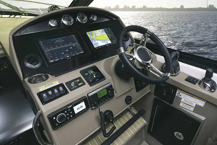
Most chartplotters today are multifunction displays: the same screen can show sonar, radar, cameras, engine data and audio controls. That is why choosing a chartplotter is really choosing the platform for all your future electronics.
Choose a size that is readable from the helm, with a sunlight-readable display. Touchscreens are intuitive; keypads or a remote are easier in rough water. Many models combine both.
Check which chart platforms the unit supports, such as Garmin Navionics+ or C-MAP, and the detail available for South Florida waters.
Units with CHIRP, down-imaging and side-imaging sonar replace a separate fish finder.
NMEA 2000, the brand network, Wi-Fi and a phone app for updates and route planning.
On boats with a busy helm or a flybridge, two displays let you keep the chart on one screen while radar or sonar runs on the other, and add redundancy if one unit fails. Networked displays share charts, waypoints and routes automatically.
Through an NMEA 2000 backbone and the manufacturer network, the chartplotter can display and control the rest of the boat: radar overlay on the chart, AIS targets, autopilot steering along a route, engine and tank data, and on newer yachts digital switching and cameras.
Basic data such as position, depth and wind can be shared between brands over NMEA 2000. Full radar and sonar integration is usually brand-specific, so it pays to plan the system before buying individual pieces. See our marine radar guide for the radar side.
The Garmin GPSMAP 1243xsv is a good example of a modern multifunction display. It pairs a 12-inch IPS display with built-in CHIRP traditional, ClearVü and SideVü sonar, connects to the Garmin Marine Network and NMEA 2000, and works with the ActiveCaptain app over Wi-Fi. OneHelm integration lets compatible third-party systems be controlled from the same screen.
Raymarine Axiom, Simrad and Furuno displays offer comparable platforms. The right choice usually depends on the radar, sonar and autopilot you already have or plan to add.
A chartplotter is only accurate and reliable if it is installed correctly. That includes:
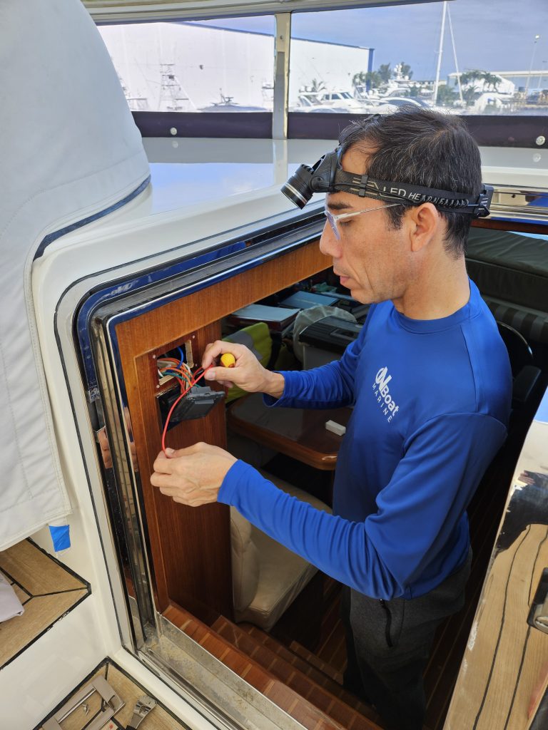
Shifting inlets, shallow banks and busy channels make accurate navigation essential in South Florida. OnBoat Marine installs and upgrades GPS chartplotters and complete navigation systems on site across Broward, Miami-Dade and Palm Beach counties.
Many of our navigation projects are upgrades rather than new boats: replacing an older display, adding a second screen, connecting radar and AIS, or moving to a platform that supports current charts and apps. We review what you already have and reuse transducers, sensors and cabling wherever it makes sense.
See our navigation systems service or contact us to plan your upgrade.
Phone apps are a useful backup, but a marine chartplotter is waterproof, readable in direct sun, connects to sonar, radar, AIS and autopilot, and does not depend on a phone battery or cell signal.
At least once a year, and more often if you run in areas where channels and sandbars change frequently.
Basic data can be shared over NMEA 2000, but full radar and sonar integration usually requires the same brand. We help you plan a system that works together.
Touchscreens are easy to use at the dock and in calm water; keypads are easier in rough conditions. Many current models offer both.
Yes. We can flush-mount or bracket-mount new displays and, when the size differs, adapt or replace the helm panel.
Need help? Request a quote or see our Navigation Systems services.
CHIRP, down and side imaging, and choosing and installing the...
Read MoreVHF radios with DSC and AIS, Class B transponders, antennas...
Read MoreDrives and sensors, integration with radar and sonar, and why...
Read MoreHow calibration and clean integration improve navigation, situational awareness and...
Read More